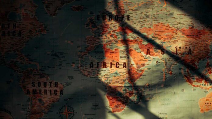

Africa is set to appear closer to its true size on maps after the United Nations General Assembly backed a resolution which encouraged countries and organisations to adopt more accurate map projections.
While Togo led the resolution and African countries supported it, 164 votes were received in favour, while the United States voted against it. Six other countries abstained as well from the votes. Although the resolution is not legally binding, it creates an encouragement for sectors such as governments, schools and technology companies to use the Equal Earth projection when displaying the world.
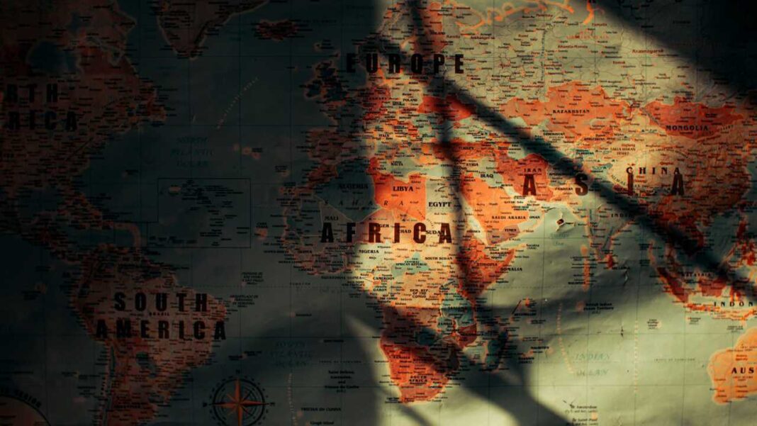
This move addressed long-standing problems related to the widely used Mercator projection. The map was created back in the 16th century. Its original design was meant to assist in navigation. However, it significantly increases the apparent size of areas closer to the North and South Poles while making regions around the Equator appear smaller.
Africa is especially affected by this distortion, as apparently its size on the map might not be as accurate as we thought. On a Mercator map, Greenland can appear similar in size to Africa, despite Africa, actually in reality, being about 14 times larger. The Equal Earth projection, which was developed in 2018, preserves the relative area of continents more accurately.
The African Union has previously supported this notion and has worked to change the continent’s representation. The union has brought up arguments about how maps can influence people’s understanding of Africa’s importance and place in the world. The campaign has also received support from organisations looking to challenge outdated representations of the continent.
Togo plans to introduce the Equal Earth projection into its school geography materials by the end of 2026, while also encouraging wider adoption across Africa.
However, the change does not mean that the Mercator projection will disappear completely. It continues to be useful for navigation, as accurately showing direction is far more important than showing the true size of land areas. Instead, the UN-backed initiative seeks to encourage maps used for education, public information and global communication to provide a fairer picture of the world’s geography.
For Africa, the change is more than a visual adjustment. It represents an effort to ensure that the continent is shown according to its actual geographical scale.