
New satellite images show two separate oil spills spreading through waters near Iran and Oman. Scientists say both events are damaging fragile coastal ecosystems already strained by regional conflict.
Researchers at the United Nations University Institute for Water, Environment and Health (UNU-INWEH) studied satellite pictures taken between August 7 and August 10. They wanted to measure how far the oil had spread near two locations: the islands of Qeshm and Hengam off southern Iran, and the Hallaniyat Islands off the coast of Dhofar in southern Oman.
The results are troubling. Near Oman, the slick covered roughly 300 square kilometres on August 7. Near Iran, the contaminated water stretched across about 100 square kilometres by August 10.
Why Satellites Matter Here
Ships and coastal patrols cannot easily track spills this large. Satellites can. They capture the full scale of a disaster from space, showing scientists exactly where oil has travelled and which coastlines are at risk.
“We can see an environmental disaster developing across hundreds or even thousands of square kilometres of ocean,” said Dr Manoochehr Shirzaei, chief scientist at UNU-INWEH’s Global Environmental Intelligence Lab. He explained that this view helps researchers track the oil’s movement and identify which ecosystems face exposure.
Two Unrelated Disasters
Although both spills are happening in the same region, they come from different incidents. The Iran spill began in early August, when oil first appeared along Qeshm’s coastline. It has since spread into the Hara mangrove forest. Investigators tracking ship movements believe a damaged cargo vessel, the Minoan Pioneer, is a likely source. That ship was damaged near the Strait of Hormuz on August 3.
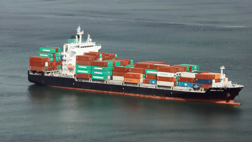
The Oman spill is larger and more severe. It comes from the tanker Caroline Bezengi, which ran aground near the Hallaniyat Islands after sustaining damage. The tanker was reportedly carrying about 800,000 barrels of crude oil. News reports say the slick has grown quickly and is now reaching Oman’s shoreline. The August 7 satellite image captured the spill while it was still spreading offshore.
“Oil spills do not respect borders, and their impacts can extend far beyond the point of an accident,” said UNU-INWEH Director Professor Kaveh Madani. He noted that even as Iran and Oman work out new arrangements for the Strait of Hormuz, oil is already causing lasting damage to both countries. He warned that the environmental harm from this conflict will outlast the fighting itself.
Fragile Habitats at Risk
Both spill locations sit near ecologically important areas, which makes the damage more serious than the numbers alone suggest.
Qeshm and Hengam Islands lie at the meeting point of the Persian Gulf and the Gulf of Oman. The area is home to coral reefs, tidal flats, and mangrove forests. Nearby, the Hara Biosphere Reserve holds the largest mangrove ecosystem on the Persian Gulf coast. It shelters migratory birds, green turtles, and critically endangered hawksbill turtles.
Mangroves are especially vulnerable to oil. Their thick root systems can trap oil in the sediment for years, harming plants and marine life long after the visible slick disappears.
In Oman, the spill threatens waters around the Hallaniyat Islands, home to sea turtles, seabirds, and the endangered Arabian Sea humpback whale.
Satellites as First Responders
Ocean spills are hard to monitor using ships alone, since the ocean is vast and observations are often limited. Satellites fill this gap.
Radar satellites can detect oil by measuring changes in the ocean’s surface texture. They work day and night, even through clouds. Optical satellites add further detail about a slick’s shape and spread when weather and lighting allow.
By combining these images with data on wind and ocean currents, scientists can reconstruct how the oil has moved. This can even help trace a spill back to its source.
The UNU-INWEH team says it will continue monitoring the region. Researchers want to understand how the spills are evolving and which coastal ecosystems remain at risk.